

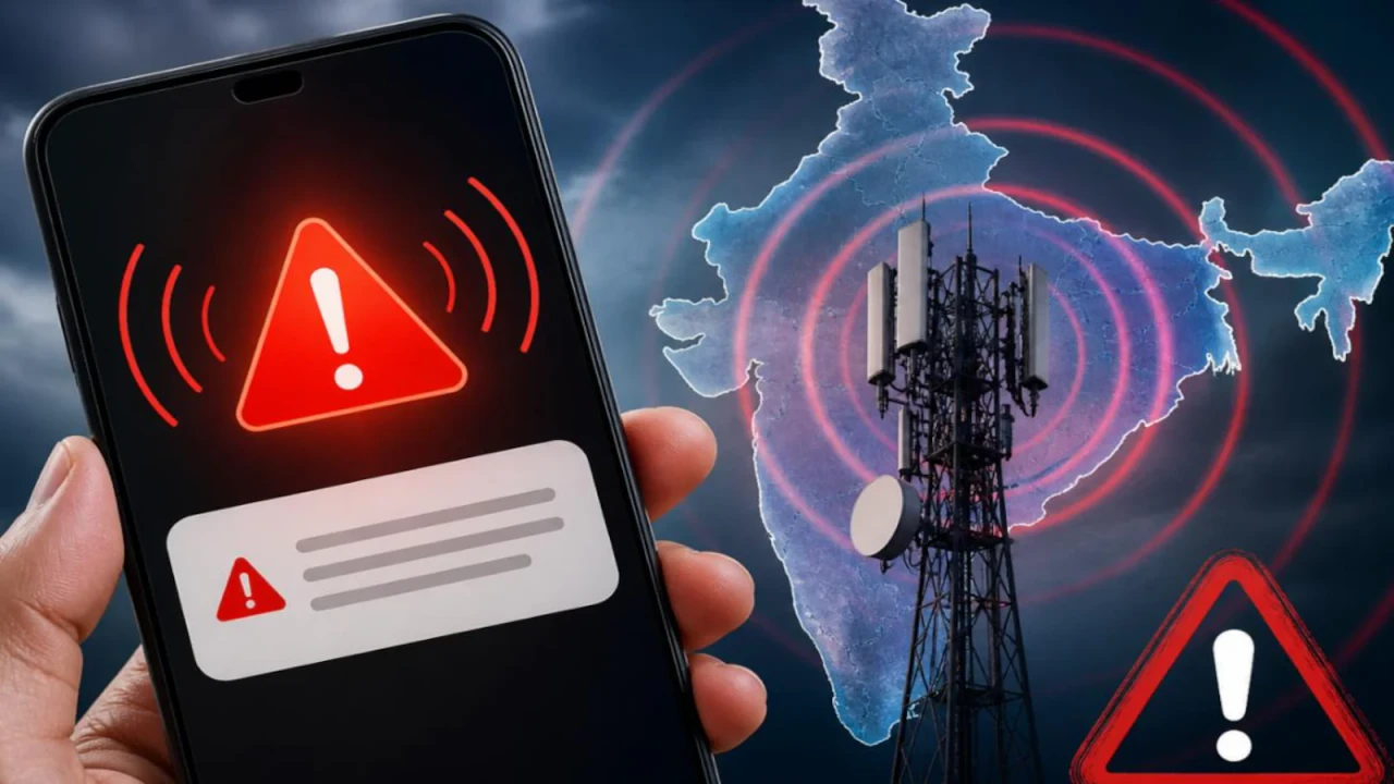
Natural disasters can develop rapidly, leaving communities with limited time to prepare and protect themselves. Floods, cyclones, earthquakes, wildfires, landslides, and severe storms can threaten lives, damage infrastructure, and disrupt essential services within minutes. As climate-related hazards and extreme weather events continue to challenge communities around the world, disaster alert technology has become an important part of modern emergency preparedness. It helps authorities communicate warnings, share reliable information, and guide people toward safer decisions before a situation becomes more dangerous.
Traditional warning systems often depended on television broadcasts, radio announcements, sirens, and local authorities delivering information directly to residents. Although these methods remain valuable, digital communication has introduced faster and more flexible ways to distribute emergency updates. Mobile alerts, satellite monitoring, weather radar, artificial intelligence, and location-based notifications now support disaster detection and public communication. Through discussions about digital information and public awareness, newsgiga com can serve as a topic for exploring how people understand emerging technologies and use timely information during emergencies.
The effectiveness of disaster alert technology depends on more than detecting a threat. Warnings must reach the right people, explain the seriousness of the situation, and provide clear instructions that can be followed immediately. A technically advanced system may still fail if messages arrive too late, are difficult to understand, or cannot reach people without reliable internet access. Understanding how these systems operate, where they provide the greatest benefits, and what limitations remain is essential for building safer and better-prepared communities.
Understanding Disaster Alert Technology
Disaster alert technology refers to the combination of digital tools, monitoring equipment, communication networks, and emergency procedures used to detect hazards and warn people about potential danger. These systems collect information from weather stations, satellites, river gauges, seismic sensors, cameras, and other monitoring devices. Authorities and forecasting systems analyze the information to determine whether a developing event could threaten a particular area. When a significant risk is identified, warnings can be distributed through mobile phones, public sirens, radio broadcasts, television, and official emergency communication channels.
The technology operates differently depending on the hazard. Weather forecasting systems can identify developing cyclones and estimate their possible movement, while river monitoring equipment can detect rising water levels before flooding becomes severe. Earthquake early-warning systems may identify seismic waves and send alerts to locations that could experience stronger shaking moments later. Such systems do not predict every disaster with certainty, but they can provide useful information about developing risks. Even a short warning period can allow people to move away from dangerous areas, stop certain industrial operations, protect equipment, or prepare for an approaching emergency.
The purpose of modern alert systems is therefore to reduce the time between identifying a threat and taking protective action. When monitoring technology is combined with trained emergency personnel, public education, and reliable communication networks, communities have a better opportunity to respond effectively.
How Modern Disaster Alert Systems Work
Real-Time Monitoring and Hazard Detection
Real-time monitoring is the foundation of many disaster alert systems. Sensors and observation networks continuously collect information about environmental conditions, including rainfall, temperature, wind speed, ground movement, and water levels. Satellites provide a broad view of developing weather systems, while ground-based instruments supply more detailed measurements from specific locations. By examining changes in these observations, forecasting agencies can identify warning signs that may indicate an approaching hazard.
For example, heavy rainfall combined with rapidly rising river levels can indicate an increasing flood risk. Monitoring platforms can compare these measurements with established thresholds and alert responsible agencies when conditions become dangerous. In earthquake-prone areas, specialized sensors may detect initial seismic waves and provide a brief warning before stronger shaking reaches more distant locations. However, the amount of advance notice varies considerably according to the event, distance, sensor coverage, and communication speed.
Artificial Intelligence and Predictive Analysis
Artificial intelligence is increasingly being explored for analyzing large volumes of environmental data. Machine learning models can identify patterns in historical weather records, satellite images, rainfall measurements, and other observations. These patterns may help researchers improve forecasts, recognize unusual conditions, and estimate which locations could face greater risks. AI-supported analysis can also help emergency planners examine different scenarios and prepare resources for areas that may require assistance.
Nevertheless, artificial intelligence should support rather than automatically replace expert judgment. Predictions can be affected by incomplete data, changing environmental conditions, equipment failures, and weaknesses in the models being used. An AI system might identify a potential threat, but trained specialists still need to evaluate the evidence, communicate uncertainty, and coordinate an appropriate response. Reliable disaster management combines technological analysis with verified observations, scientific expertise, and established emergency procedures.
Different Types of Disaster Alert Technology
Disaster warnings use several communication methods because no single channel can reach every person under every circumstance. Mobile networks may become congested during emergencies, electricity supplies can fail, and internet access may disappear in remote or damaged areas. Combining multiple communication methods creates a more resilient warning network.
| Technology | Primary purpose | Important limitation |
|---|---|---|
| Emergency mobile alerts | Deliver urgent warnings to compatible phones in targeted areas | Coverage, device settings, and network conditions can affect reception |
| Weather radar and satellites | Monitor storms, rainfall, and developing weather systems | Forecast accuracy and local detail vary by hazard |
| River and flood sensors | Measure water levels and identify increasing flood risks | Sensors require maintenance and sufficient geographic coverage |
| Earthquake early-warning sensors | Detect seismic activity and provide brief advance alerts where possible | Warnings may arrive too late for locations close to the earthquake |
| Public sirens and radio | Communicate urgent information to large populations | Sirens provide limited detail, while radio requires access to a receiver |
| AI-assisted forecasting | Analyze data and support risk assessment | Results depend on data quality, model reliability, and expert interpretation |
Mobile alerts have become particularly useful because they can deliver location-specific information directly to people. Depending on the country and system, emergency notifications may include the type of hazard, affected region, recommended protective action, and expected timing. Radio, television, community announcements, and sirens remain important alternatives, particularly for people who do not own smartphones or have limited digital access.
The Role of Mobile Phones in Emergency Communication
Smartphones have changed the way people receive and share information during dangerous events. Official applications can provide weather warnings, evacuation instructions, shelter locations, and updates about road closures. Some emergency notification systems use cell broadcast technology to send warnings to compatible devices within a defined geographic area without requiring every recipient to subscribe individually. Other systems distribute alerts through text messages or applications, depending on the available infrastructure.
Location-based communication can make these warnings more relevant. A resident in a flood-prone neighborhood needs different instructions from someone living in an unaffected district. When authorities can target messages geographically, they can communicate the locations at risk and help residents decide whether to evacuate, shelter indoors, or avoid specific routes. People should still confirm critical information through recognized emergency agencies because social media posts and forwarded messages can contain outdated or misleading claims.
Mobile technology also has limitations. Devices may be switched off, batteries may run out, notification settings can vary, and cellular infrastructure may be damaged during major disasters. People should therefore avoid relying on a single application or phone notification as their entire emergency plan. Keeping a charged power bank, knowing local emergency radio options, and understanding community evacuation procedures can improve preparedness.
How Newsgiga Com Insights Connect With Disaster Awareness
Public understanding is an important part of effective disaster management. People need to know what a warning means, whether it applies to their location, and which actions are appropriate for the reported hazard. Discussions associated with newsgiga com can provide a useful content angle for examining the relationship between digital information, technology awareness, and public safety. The broader issue is how readers evaluate emergency-related information and distinguish useful updates from speculation or unverified reports.
During a severe storm or flood, information can spread rapidly through messaging groups, online communities, news platforms, and social networks. Although this speed can help people share evacuation updates and identify local needs, it can also allow rumors to circulate. An old photograph might be presented as a current disaster scene, or an unofficial forecast might be mistaken for an emergency order. Readers should examine the publication date, location, original source, and consistency of the claim with official announcements before sharing it.
A responsible approach to disaster information emphasizes accuracy, context, and practical value. News coverage should explain the nature of the hazard, identify the communities affected, clarify what remains uncertain, and communicate verified safety instructions. In this context, newsgiga com can be incorporated naturally into a discussion about digital awareness without treating a general information platform as a substitute for official emergency warnings.
Major Benefits of Modern Disaster Alert Systems
The most important benefit of disaster alert technology is the opportunity to give people more time to make protective decisions. Early warnings can support evacuations, help hospitals prepare for incoming emergencies, allow transport operators to adjust services, and give families time to secure essential belongings. Businesses may also use verified warnings to protect employees, suspend hazardous activities, and reduce damage to equipment.
These systems can improve coordination between emergency services as well. When monitoring agencies, local governments, hospitals, and rescue teams share reliable information, they can identify priority areas and allocate available resources more efficiently. Geographic information systems can display affected roads, vulnerable settlements, temporary shelters, and damaged infrastructure on a common map. Such information can help emergency coordinators understand changing conditions and avoid sending teams into unnecessarily dangerous areas.
Disaster alert technology can also support long-term resilience. Records of previous events help researchers identify recurring hazards and improve community planning. Local authorities can use risk assessments to review evacuation routes, determine where additional sensors are needed, and develop better public education programs. However, these benefits depend on sustained investment, regular maintenance, accurate data, and cooperation between public agencies and communities.
Practical Ways People Can Prepare for Disaster Alerts
Technology becomes more useful when people understand how to respond before an emergency occurs. Residents should learn which official agencies issue warnings in their area, enable appropriate emergency notifications on their devices, and understand local evacuation routes. Families should discuss where they will meet if they become separated and how they will contact one another when ordinary communication services are disrupted.
A simple preparedness routine can include the following actions:
- Enable emergency notifications where supported and keep important devices charged.
- Follow recognized weather and disaster management authorities for verified updates.
- Prepare essential supplies, drinking water, medicines, and a basic first-aid kit.
- Learn evacuation routes and identify nearby safe locations before a warning arrives.
- Keep an alternative communication method available in case mobile networks fail.
These steps should be adapted to local risks. A household in a flood-prone region may need to identify higher ground and avoid routes that become submerged, while residents in cyclone-prone areas may need to understand evacuation orders and prepare a secure shelter. People living in earthquake-prone areas should learn appropriate protective actions, including how to drop, cover, and hold on during shaking.
Preparation also involves helping people who may face additional barriers during emergencies. Older adults, people with disabilities, children, and residents who do not understand the language used in official alerts may need specific assistance. Communities can improve warning effectiveness by providing accessible messages, multilingual communication, and practical support for evacuation.
Challenges Facing Disaster Alert Technology
Despite major advances, warning systems continue to face technical and social challenges. Remote communities may lack reliable cellular coverage, while mountainous terrain, severe weather, and damaged infrastructure can interfere with communication. Monitoring equipment also requires maintenance, calibration, and sufficient funding. If sensors stop working or agencies cannot exchange information efficiently, warnings may be delayed or based on incomplete observations.

Another challenge is alert fatigue. When people receive frequent notifications that appear irrelevant, repetitive, or unnecessarily alarming, they may become less likely to respond to future warnings. Emergency agencies must balance timely communication with accuracy and clarity. Messages should explain the hazard, affected area, level of urgency, and recommended action without unnecessary technical language. Authorities should also correct inaccurate information quickly when circumstances change.
Privacy and public trust matter as well. Some alert services rely on geographic information or other personal data, depending on their design. Emergency communication should follow appropriate privacy safeguards and make the purpose of data collection clear. At the same time, people need confidence that official warnings are based on credible evidence rather than speculation. Transparent communication about uncertainty can help maintain that confidence.
The Future of Disaster Alert Technology
Future warning systems are likely to combine more advanced environmental monitoring, improved forecasting models, satellite observations, connected sensors, and automated communication tools. Better integration could help authorities compare information from multiple sources and update risk assessments as conditions change. For instance, a flood management system might combine rainfall forecasts, river measurements, terrain information, and observations from local monitoring stations to identify areas that require closer attention.
Advances in communication technology may also improve warning delivery in places where traditional mobile networks are unreliable. Satellite-enabled communication, stronger backup infrastructure, and community-based alert networks can provide additional ways to distribute emergency information. These technologies will not eliminate every communication failure, but they may reduce dependence on a single system and improve access to warnings during widespread disruptions.
Another important development is the movement toward impact-based forecasting. Instead of simply announcing that heavy rainfall is expected, an impact-focused warning explains what that rainfall could mean for a particular community, such as dangerous road conditions, possible flooding, or disruption to essential services. This approach helps people understand why an alert matters and what they should do next. Public education and local knowledge will remain necessary because even sophisticated forecasting tools cannot account perfectly for every situation.
Conclusion
Disaster alert technology has become an essential component of modern public safety. By combining environmental monitoring, forecasting, mobile notifications, communication networks, and emergency planning, these systems help authorities identify hazards and provide information that supports timely protective action. Their value extends beyond detecting a threat: effective warnings must be understandable, accessible, reliable, and connected to clear instructions. However, technology alone cannot guarantee safety. Communities need well-maintained infrastructure, trained emergency personnel, trustworthy information, and public awareness programs that prepare people to respond appropriately. Individuals also have a responsibility to follow verified instructions, avoid spreading unconfirmed reports, and maintain a practical emergency plan.